Orford Ness: an amazing landscape with a rich and varied history - and an extremely dynamic coastline
09/09/2016 | Lara Band
This summer the CITiZAN South East team ran two residential training weekends on Orford Ness, in conjunction with the National Trust and the multidisciplinary Arts and Humanities Research Council funded project Heritage Futures. Orford Ness lies c15 miles north east of Felixstowe; once a secretive radar development and weapons research site, since 1993 most of it has been owned and cared for by the National Trust. Orford Ness is one of Europe’s largest vegetated shingle spits; among the nature designations recognising its importance as a landscape, it is a Site of Special Scientific Interest (SSSI) and a Ramsar site. It is open to the public but due to the sensitive nature of the site and the risk of unexploded ordnance the number of visitors each year is limited and those who do visit must stick to marked routes.
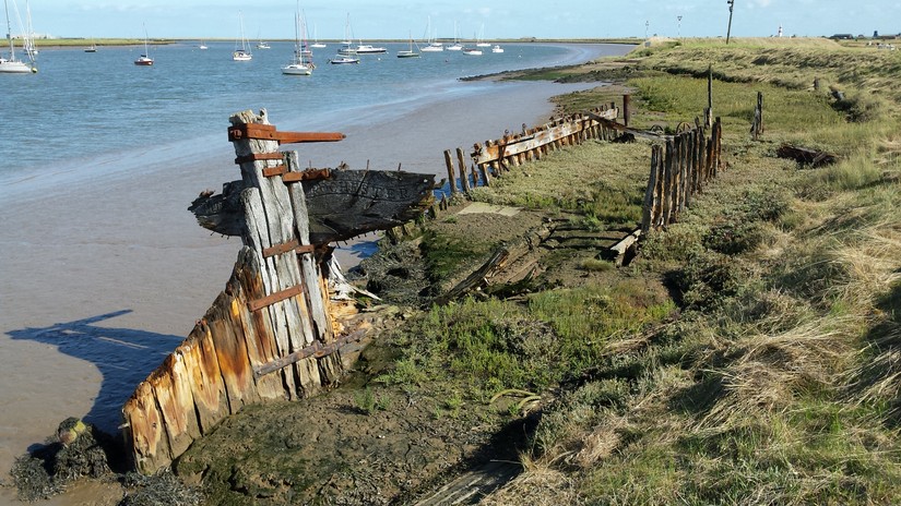
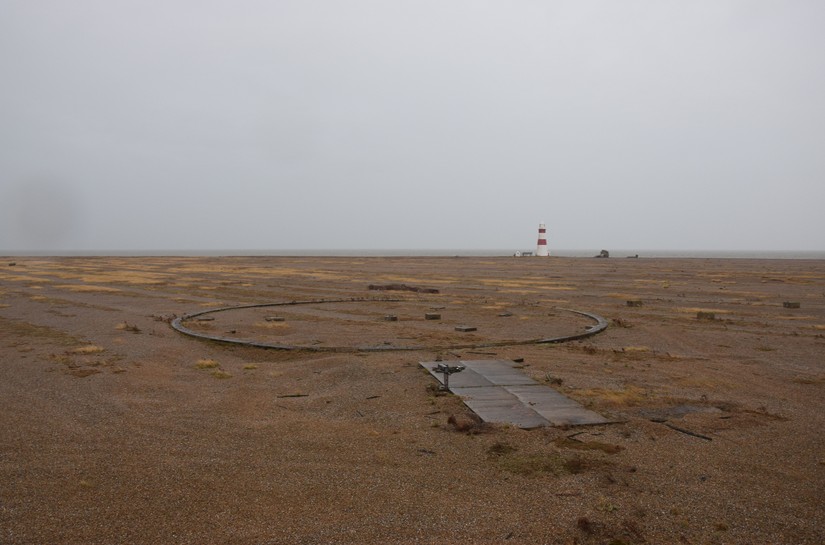
Orford Ness is separated from Orford by the tidal Ore and split in two by the tidal Stony Ditch. The wetlands and grassy fields of King’s Marsh lies landward of Stony Ditch while the shingle of Orford Beach lies seaward. Ridges of vegetation show how the spit gradually built up; the buildings, structures and features on the edge of the ridge now closest to the sea are a stark visualisation of the forces of coastal erosion. With up to 8m erosion and deposition a year along the coastal edge, the Ness is an ideal place for studying the forces that affect our coastal heritage: compare the two photographs below of the chequerboard target eroding out of the shingle ridge and you can see that over the space of 10 months nearly half has disappeared into the sea.

Before looking at the work we carried out over the two weekends, a short history:
While Orford Ness is probably most famous for its military history, a hoard of 4th century Roman coins marks the earliest known human activity on the Ness. King’s Marsh was reclaimed in the medieval period for cattle and sheep grazing, oyster beds were developed by the 19th century and a small group of buildings, known as Marsh House, survived into the 1950s. There are also the remains associated with a late 19th summerhouse, at Stony Ditch Point. On Orford Beach, next to Orford Ness lighthouse (built 1792, not owned by the National Trust) is the Coastguards Watchouse. A coastguard station was established on the island in 1844, though this building is likely to be later. Numerous wrecks including two aircraft lie off the Ness. The wing of an aircraft, possibly a Lancaster, lies wedged in the salt marsh in Stony Ditch while the remains of the Thames Sailing barge Tuesday of Rochester lie by Orford Ness Quay.
In 1913 a large part of Orford Ness was taken over by the War Department. From 1914-1918 the Royal Flying Corps established a station on the marsh for experiments with aerial machine guns, bombs, navigation, and photography. The summerhouse at Stony Ditch Point, formerly used by the Rope family, was used by officers as a clubhouse. A Chinese labour battalion was drafted in to construct a seawall on the Ore, known now the ‘Chinese Wall’. During the First World War German POWs were held on the spit, in a camp near the ‘Chinese Wall’ and were used in construction work.
In 1935 an experimental radar team arrived and were critical in proving the value of radar technology. During the Second World War the principal occupant was the Aeronautical Armament Experimental Establishment. Activities included assessing the vulnerability of aircraft to hostile fire and the aircraft wing in Stony Ditch probably dates to this period. A black and white target eroding out of the shingle ridge was possibly used during experiments measuring the trajectory of missiles and can be seen on aerial photographs taken in December 1945 and 1951. In the 1950s the Royal Aircraft Establishment began nuclear ballistics trials. The Atomic Weapons Research Establishment operated on the Ness between 1956 and 1972; the ‘pagodas’ and the Cobra Mist radar station date to this period. The site was decommissioned acquired by the National Trust in 1993 and is now open to the public.
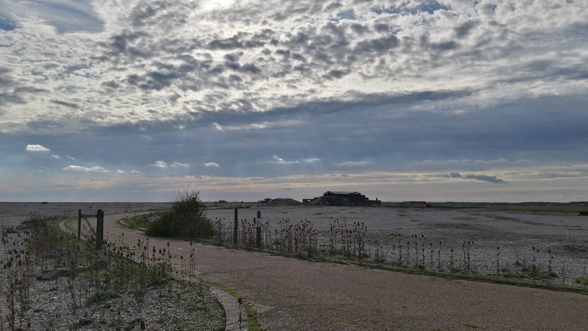
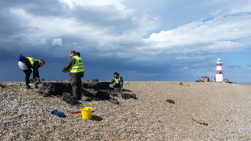
In July this year CITiZAN volunteers focused on features along the Beach: the Coastguards Watchhouse and flagstaff, adjacent concrete structures, the chequerboard target eroding out of the shingle shelf and the remains of the police lookout tower. The volunteers carried out some sterling work, producing a 1:50 scale plan of Coastguard site, an elevation drawing of the concrete structures, an English Heritage Level 1/2 survey of the Coastguards Watchouse and sketch plans, proformas and photographs of the other features.
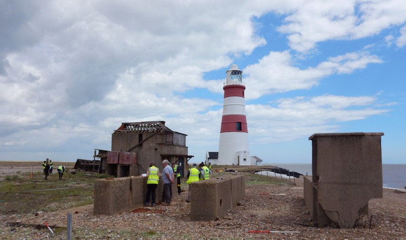
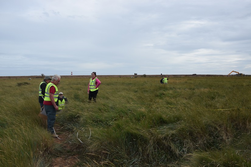
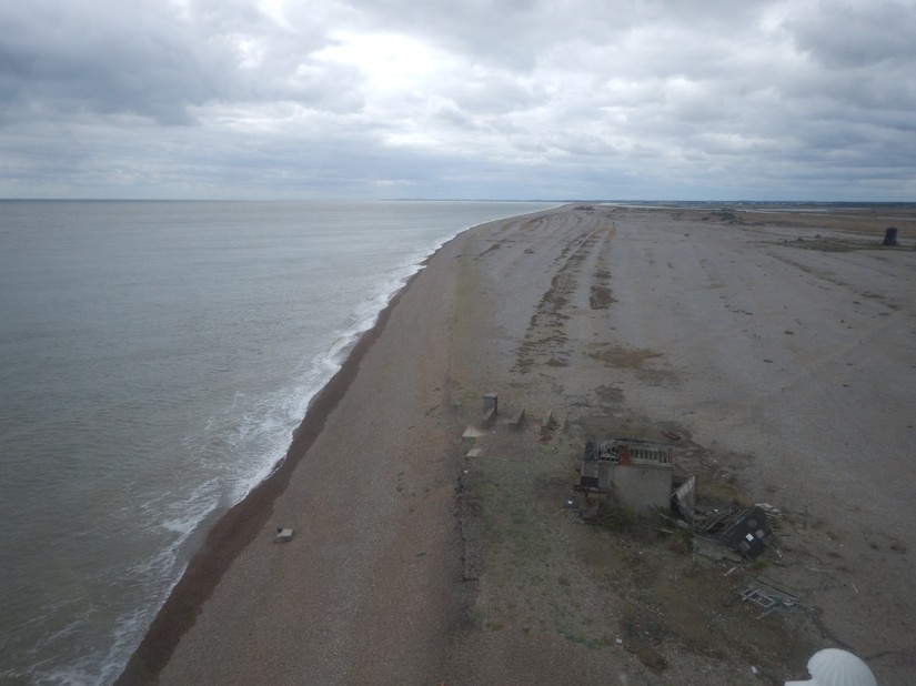
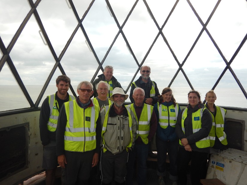
This weekend just gone equally sterling work was carried out by our band of volunteers, some of came out in July too. This time We concentrated on locating remains associated with the First World War German POW camp and creating a 1:100 plan of the ditches and concrete foundations associated with the camp. We also updated the record for the aircraft wing in Stony Ditch and carried out a monitoring visit to the sites we recorded in July. We even managed to squeeze in a guided tour of the lighthouse, owned by Orford Lighthouse Trust, which also gave us a fantastic bird's eye view of the site we'd recorded in July.
This time we also had a good look at documentary sources, including the publicly accessible Aerofilms collection and http://www.oldmapsonline.org/, a gateway to georeferenced maps in collections all round the world and maps and field books from the 1910 Valuation Office Survey, held by the National Archives.
The updates we made to CITiZAN’s interactive map are awaiting moderation but should be available to view soon. This winter we’ll write up a report including both sites, based on the excellent notes, observations and recording carried out by the volunteers; this will also be available for anyone who’d like to read it.
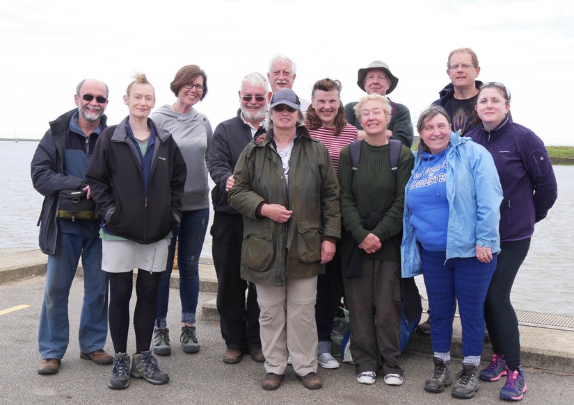
It just remains to say a big thank you to the National Trust and to Heritage Futures, and to all the volunteers who came out with us, for all your hard work and excellent company. We’ll keep in touch and hope to see you all again soon!
Sources
David Mason, Grant Lohoar, Angus Wainwright (National Trust, pers. comm.)
Google Earth 2016
http://www.britainfromabove.org.uk/
www.heritage.suffolk.gov.uk/Data/Sites/1/media/parish-histories/orford.pdf
http://www.nationaltrust.org.uk/place-pages/249/pages/opening-times-calendar
http://www.orfordpiece.com/html/shipwrecks.html
http://services.english-heritage.org.uk/ResearchReportsPdfs/010_2009WEB.pdf